Satellite Technology Combating Yemen’s Drought Crisis
Yemen, a country plagued by conflict and humanitarian crises, is currently facing an alarming drought crisis. This drought not only exacerbates food insecurity but also threatens the livelihoods of millions. As the situation grows increasingly dire, innovative solutions must be employed to combat the effects of climate change and mismanagement.
The Role of Satellite Technology
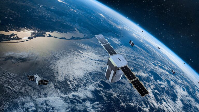
Satellite technology offers cutting-edge tools to monitor environmental changes in real-time. These tools provide critical data on temperature, vegetation health, and soil moisture levels. By utilizing satellite imagery, agencies can assess the impact of drought and plan their interventions more effectively.
Tracking Water Resources
With limited access to on-ground resources, satellite technology plays a vital role in tracking Yemen’s dwindling water resources. Satellites can identify areas most affected by water scarcity, guiding humanitarian efforts and resource distribution. This data can significantly improve the efficiency of water management strategies in the country.
Supporting Agricultural Adaptation
Agriculture, the backbone of Yemen’s economy, has suffered immensely due to ongoing droughts. Satellite data can aid in developing better agricultural practices by informing farmers about the best planting times and crop varieties. This can ultimately help to enhance food security and support rural communities.
Collaboration and Future Prospects
International organizations and local governments are beginning to recognize the value of satellite technology in combating Yemen’s drought crisis. Collaborations are being established to invest in technological solutions that address these pressing concerns. As advancements in satellite technology continue, prospects for effective drought response in Yemen appear more promising.
For more detailed insights into Yemen’s drought challenges, you can visit this resource.

